Milford Sound är en av Nya Zeelands mest besökta naturupplevelser, men den vackra fjorden ligger långt från närmaste staden Queenstown. Alltför många trycker plattan i mattan för att kunna göra sitt besök vid fjorden på en dag. Men varför då? Vägen till fjorden är minst lika värd besöket som själva destinationen. Vi gjorde resan till Milford Sound på 2 dagar från Queenstown, men hade jag planerat idag så hade jag lagt den dubbla tiden!

Från Queenstown är det 28 mil enkel väg till Milford Sound, en enfilig och krokig väg med hård trafik och mycket långfärdsbussar. Allra bäst är att ta vägen i tre etapper – från Queenstown till Te Anau, från Te Anau till Milford Sound och tillbaka till Te Anau, och till sist Te Anau till Queenstown. På detta sätt hinner du stanna vid alla ofantligt vackra vyer och slippa känna stressen av att ha en båtutflykt att passa i Milford Sound.
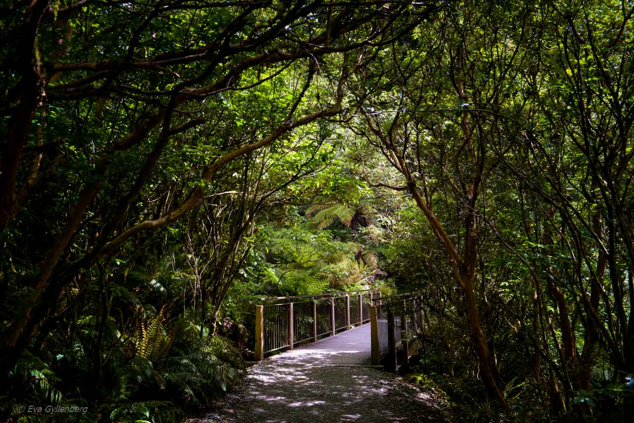
Den mest omskrivna sträckan utefter vägen är oftast mellan Te Anau och Milford Sound, men i mina ögon är det orättvist. Hela vägen är en soaré av snöklädda berg, gröna kullar med betande får, turkosa sjöar och regnskog. De ställen som du kommer att vilja stanna på är fler än du har tid till, hur bra du än planerat din resa.
Vi hann stanna på ett 15-tal platser utefter sträckan (förutom vid Milford Sound och Te Anau där vi bodde) och även om vi inte hann med några längre vandringar eller stopp så ligger många av de vackraste platserna alldeles bredvid vägen. Det är ofta ganska svårt att veta vad platserna heter som du stannar vid (då du oftast bara stannar vid vägkanten ute i ingenstans), men med hjälp av en GPS tracker och Google maps har jag gjort ett försök att tagga upp mina favoritstopp!
Vill du läsa om vår båttur i Milford Sound? Det hittar du på min sida Milford Sound – Fjorden där det alltid regnar.
Tutoko River
Bara drygt 4 kilometer från Milford Sound ligger den steniga floden Tutoko. Ett lätt stopp vid sidan om vägen som bjuder på turkosa vattenvyer och dimmiga berg.

The Chasm
En enkel vandring (0,5 km t/r) tar dig till The Chasm – ett vattenfall med läckra klippor som formats av en virvlande fors. Svår att fotografera men en desto härligare att uppleva. The Chasm ligger i närheten av Homer Tunnel, 1 mil söder om Milford Sound.

Vyerna vid Homer Tunnel
Rödljusen vid Homer Tunnel brukar bjuda på ett ofrivilligt stopp på vägen till Milford Sound. Dock brukar vyerna söder om tunneln få folk att stanna längre än rödljusen. Bergen fullkomligt dränks av vattenfall och ofta ligger snö kvar här väldigt nära vägen. Homer tunnel ligger 1,8 mil från Milford Sound.

Hollyford Valley Lookout
Ett snabbt stopp precis vid vägen bjuder på vyer över Hollyford Valley och snöklädda berg (även på sommaren). Klart värt de extra fem minuterna. Utsiktspunkten ligger 3 mil söder om Milford Sound.

Mirror Lakes
En plats precis bredvid vägen som (i princip) alltid levererar Instagramvänliga bilder. Mirror lakes stilla vatten och bergen i bakgrunden bjuder på naturen från sin bästa sida. Platsen ligger 6 mil söder om Milford Sound.

Eglinton Valley
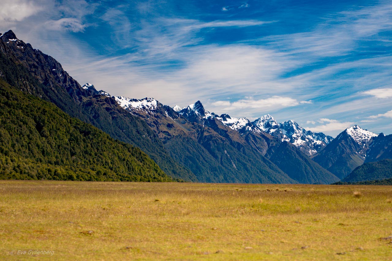
När skogen öppnas upp så möts du här i dalen av en oväntat platt äng med en perfekt bergskam i bakgrunden. Eglinton Valley ligger 6,5 mil söder om Milford Sound.

Walker Creek
En campingplats som ligger otroligt vackert med lupiner, vatten och berg. Du behöver köra av vägen, men det är bara några hundra meter ner till vattnet. Walker Creek ligger 7 mil söder om Milford Sound.

Te Anau till Lake Wakatipu
Landskapet söder om Te Anau förvandlas snabbt från berg och vildmark till jordbrukslandskap och bördiga kullar. Grönt, frodigt och med massor av får. Klassiskt Nya Zeeland-landskap och mycket charmigt. Te Anau ligger 12 mil söder om Milford Sound.

Devil’s Staircase
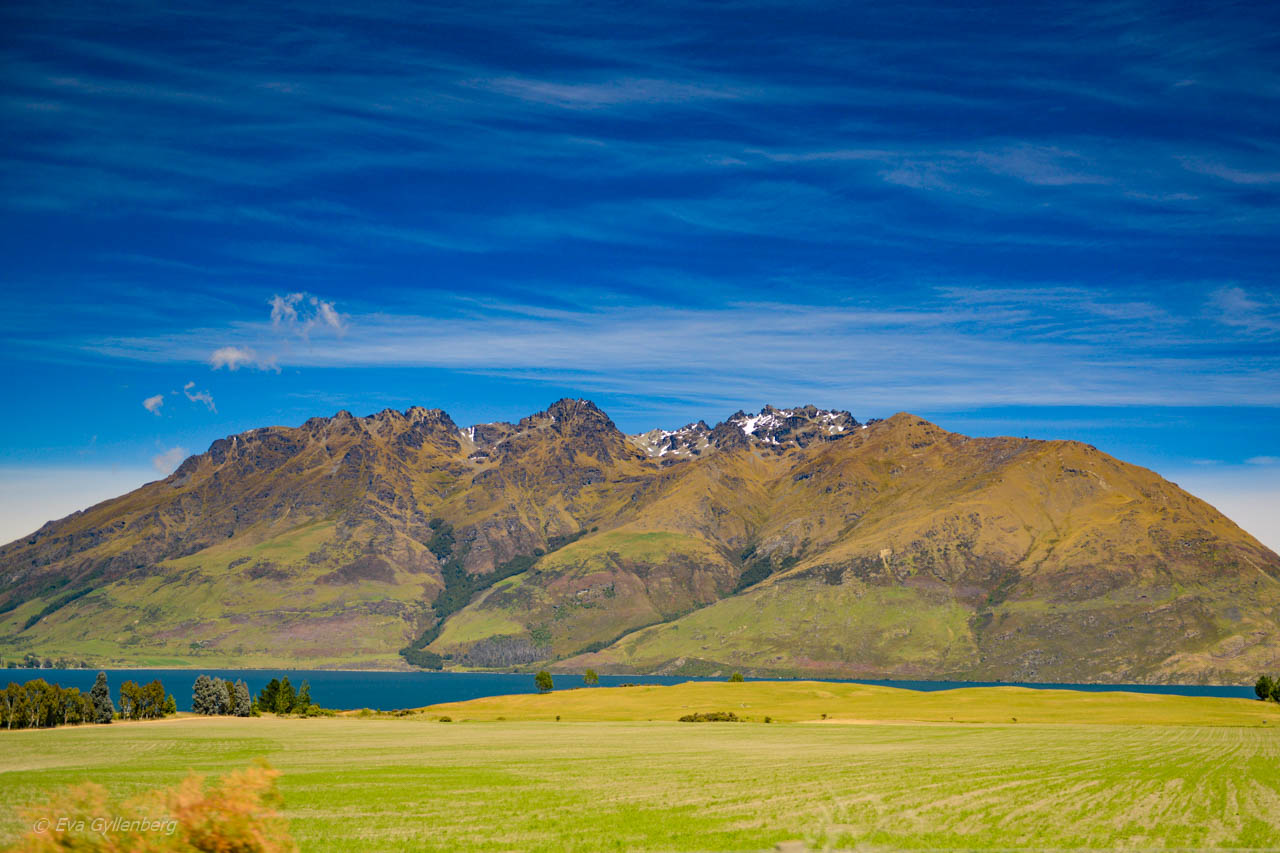
Den sista sträckan in mot Queenstown går längs Lake Wakatipus kant. Kurvigt, vackert och otroligt rolig körning. Nu är du 25 mil från Milford Sound och nästan tillbaka i Queenstown igen.

Var det allt som finns att se efter vägen?
Verkligen inte! Hela sträckan är ett rent nöje att köra. Denna sträcka kvalade snabbt in som en av mina ”topp 10 bilvägar” någonsin. Jag hoppas att bilderna nedan kan ge en hint om vad du kan se utefter vägen.


Tänk på att vägen är hårt utsatt av väder, vind och snöskred. Om du tänker åka under de kallare månaderna, kolla upp i förväg så att vägen är öppen och följ alla säkerhetsråd utefter vägen. Läs mer om säkerhet och viktiga förberedelser hos Department of Conservation.
En riktigt bra PDF med information om vägen och karta med sevärdheterna hittar du här, även denna hos Department of Conservation. Ladda ner den innan du åker!
Vill läsa fler av mina resetips? Glöm inte att gilla Rucksack på Facebook!


